A walk in the greenwood. Squirrels and pine siskins
June 3, 2025
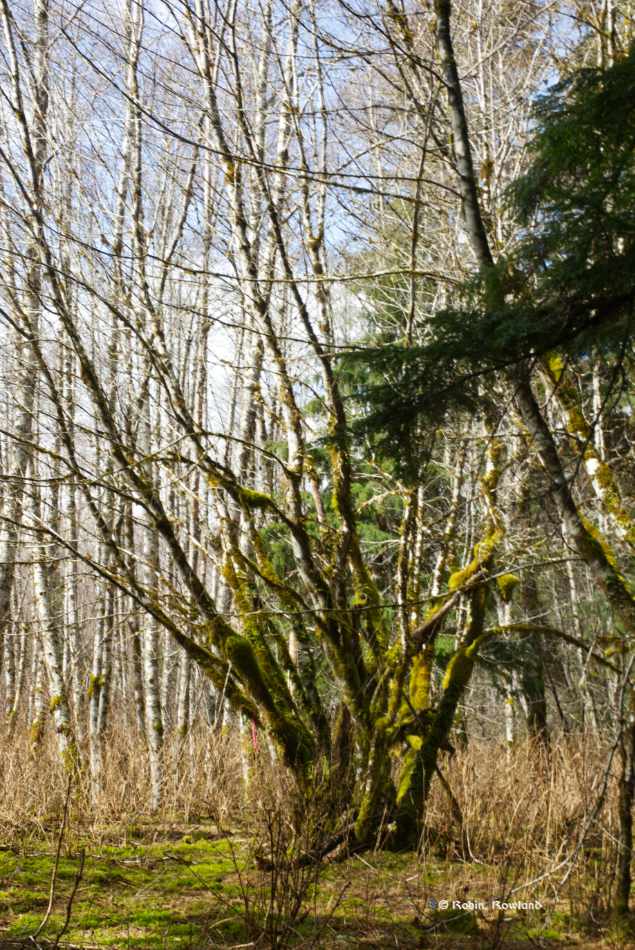
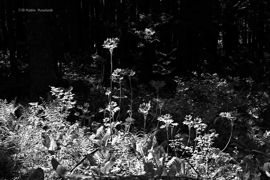
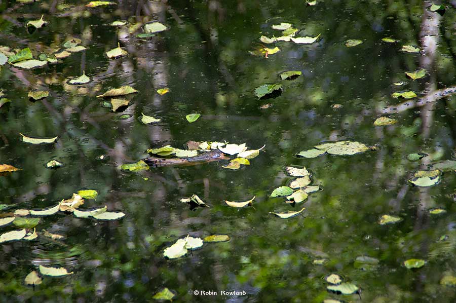
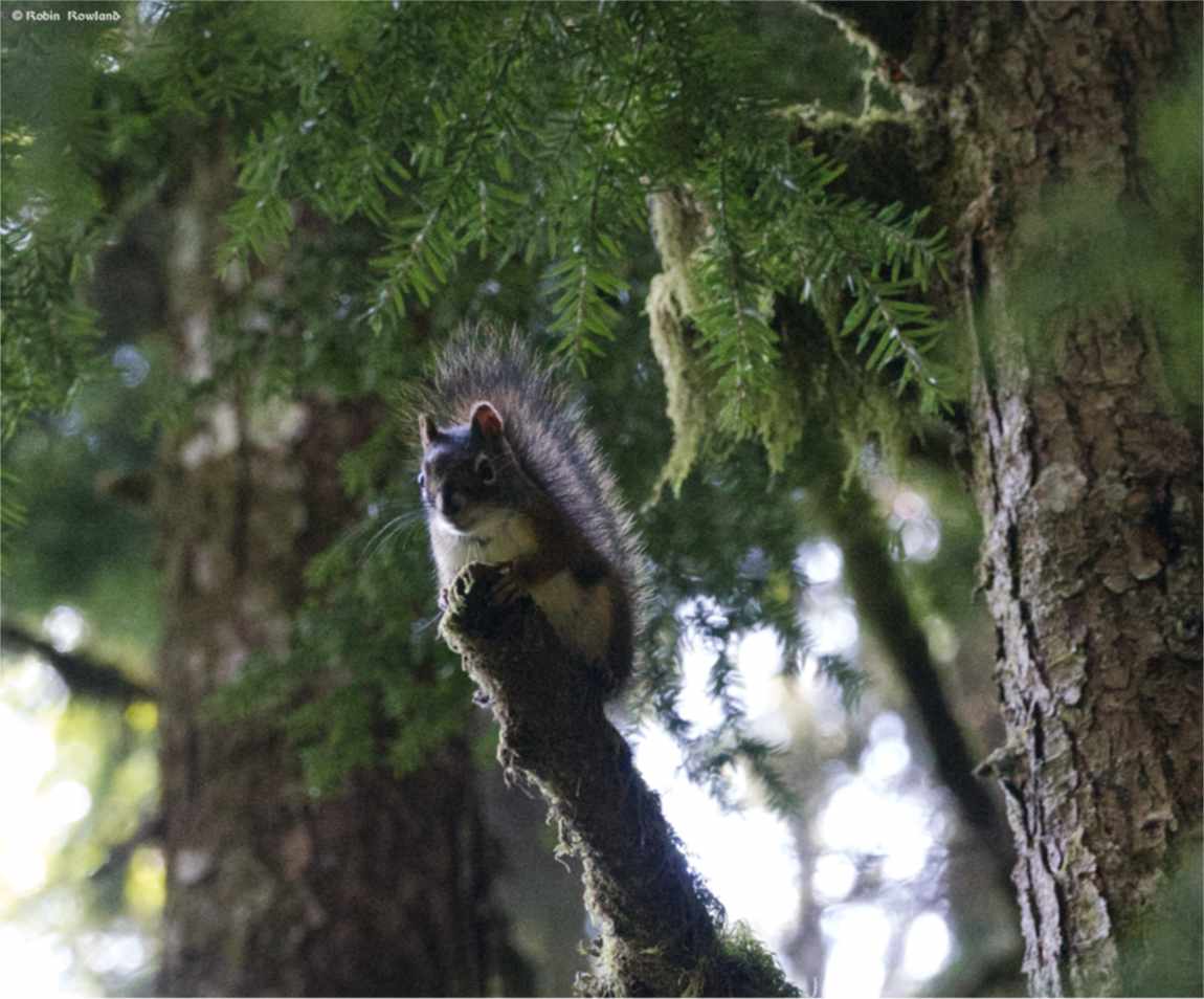
My morning walk on Monday June 2, through the forested “gully” or “play gully” near my home was one of the reasons I love living in the northwest. It was peaceful, different species of birds chirping and the light through the trees was amazing. There was also wildlife. Time for cute. I first managed to […]