Skip to content
Robin Rowland Photography
Robin Rowland's site for editorial, commercial, wildlife and nature photography
Photography Blog
Mt. Elizabeth/Mt. Bolton/Lax¯ukw
Photo books
News and weather
Enbridge Northern Gateway
People in the news
Northwest BC Industries
Natural world
Wildlife
Sea
Lakes, rivers and wetlands
Land
Photo Services
Portrait photojournalism
Commercial photography
Guides and outfitters
Photo printing
Photo books
Bio
Contact
Category:
Photography
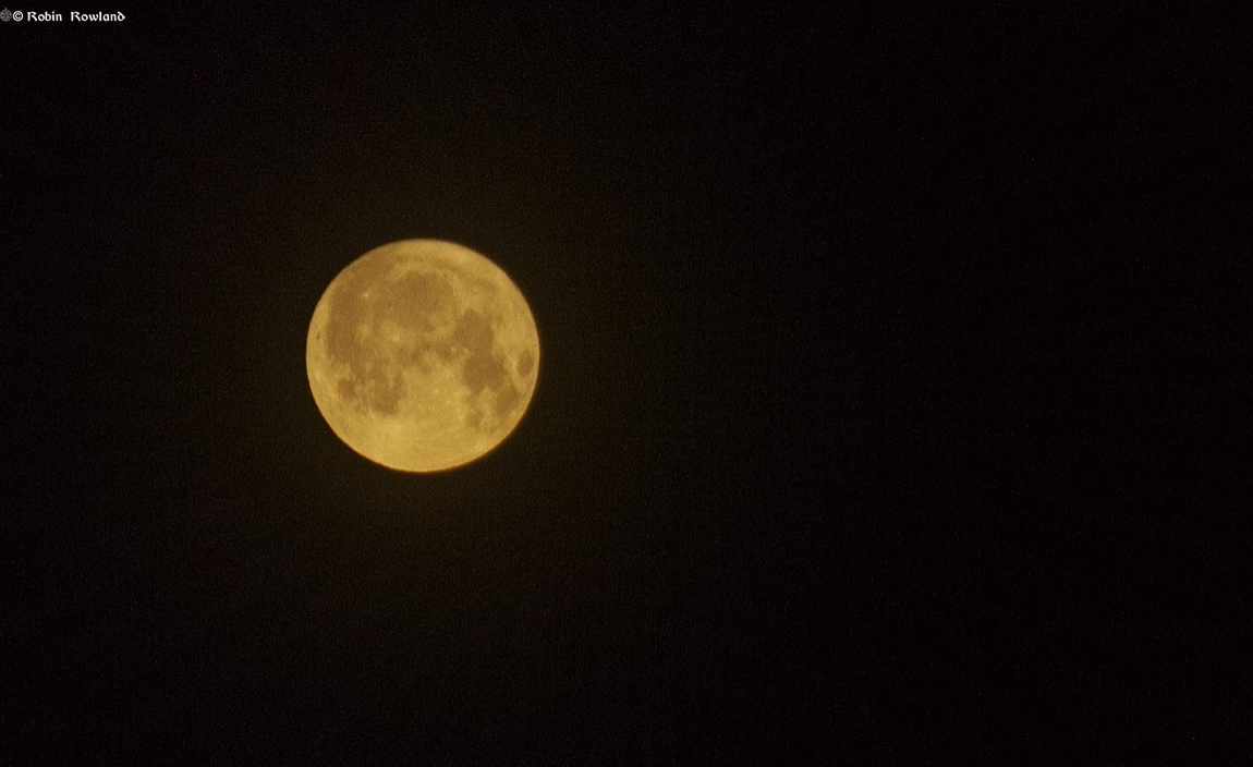
July “Buck” full moon over Kitimat
July 22, 2024
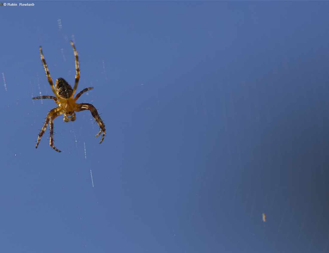
Along came some spiders
July 16, 2024
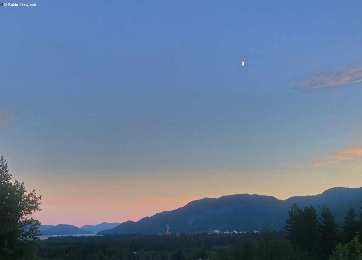
First quarter moon at sunset over Douglas Channel
July 14, 2024
A visit to the Nisga’a lava beds
June 5, 2024
Grizzly bears in Khutzeymateen
June 5, 2024
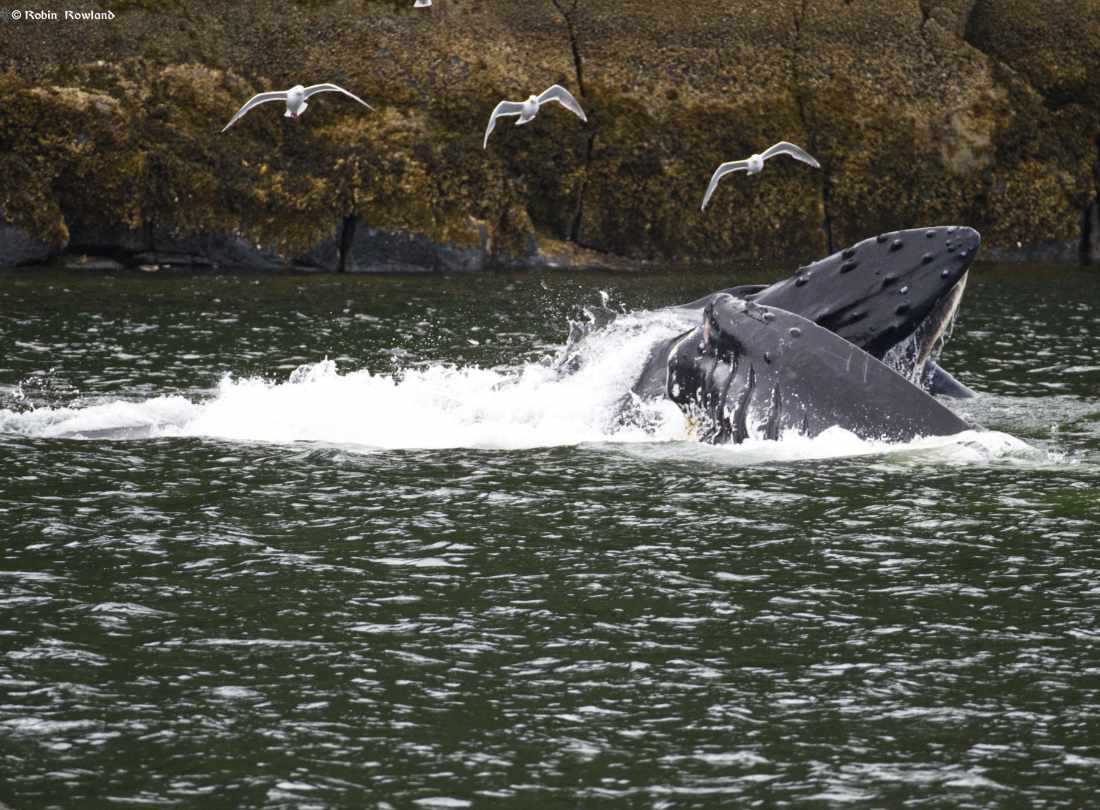
Humpback “Wally” bubble feeding at Khutzeymateen
June 4, 2024
Humpback Aurora, eagles, seagulls and sealions
June 4, 2024
next page »