Winter skies in Kitimat
March 14, 2025
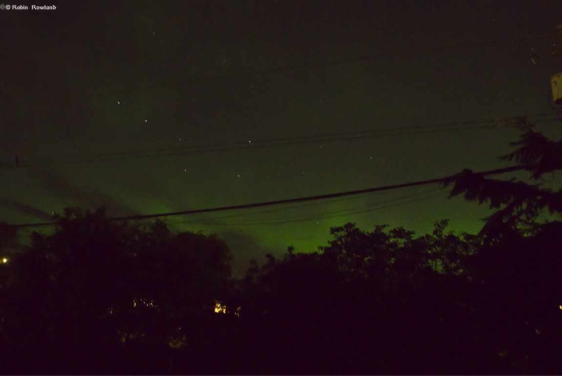
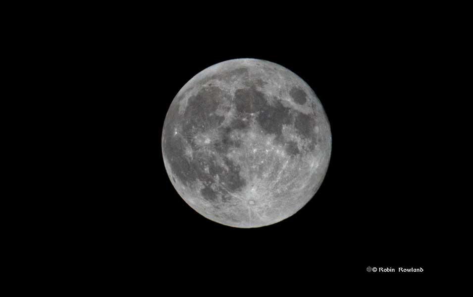
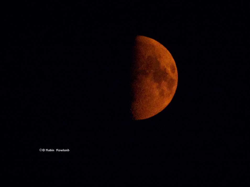
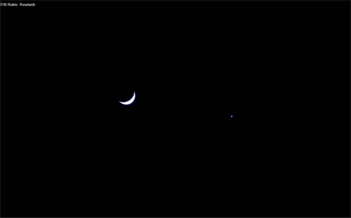
Winter 2025 has been spectacular for photographing from my front yard and in some cases bedroom window. The planets Jupiter, Saturn and Venus were visible at times and capping it off was the lunar eclipse on March 14, 2025. On the other hand we had a lot of rain and heavy overcast but not much […]