Skip to content
Robin Rowland Photography
Robin Rowland's site for editorial, commercial, wildlife and nature photography
Photography Blog
Mt. Elizabeth/Mt. Bolton/Lax¯ukw
Photo books
News and weather
Enbridge Northern Gateway
People in the news
Northwest BC Industries
Natural world
Wildlife
Sea
Lakes, rivers and wetlands
Land
Photo Services
Portrait photojournalism
Commercial photography
Guides and outfitters
Photo printing
Photo books
Bio
Contact
Tag:
boat
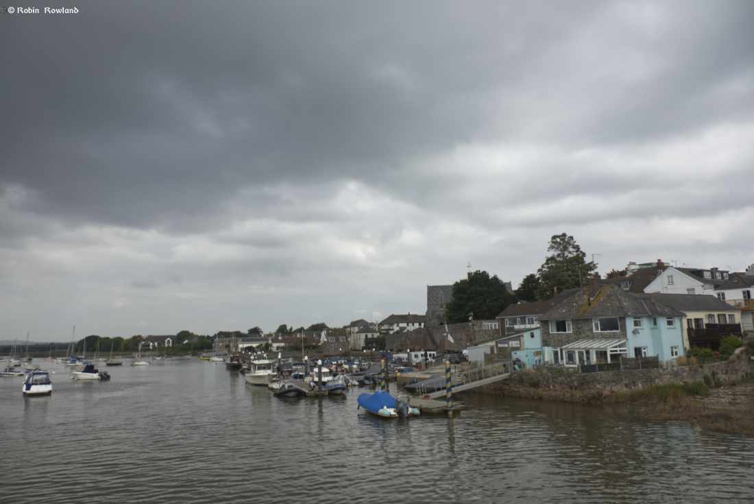
Finding my roots in Topsham, Devon
August 30, 2022
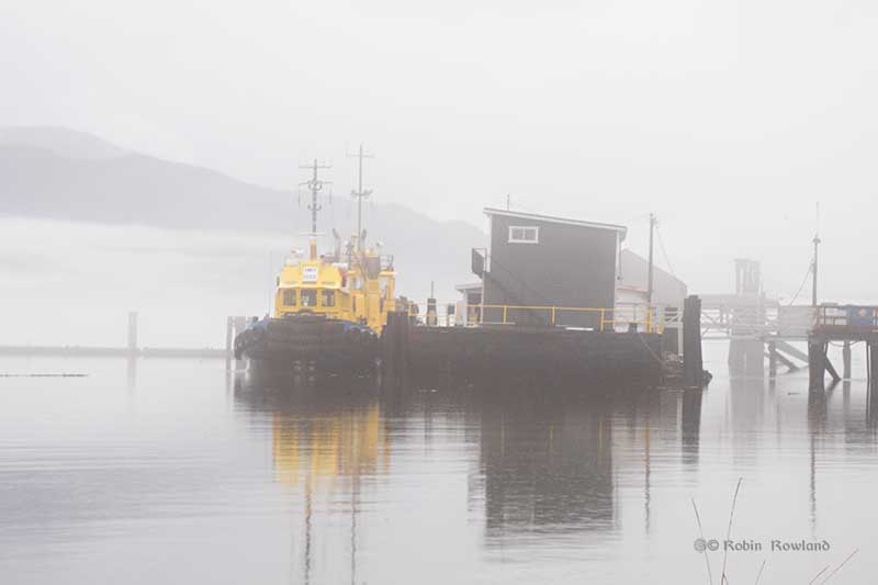
Calm between storms, slack tide in Kitimat harbour
October 10, 2015
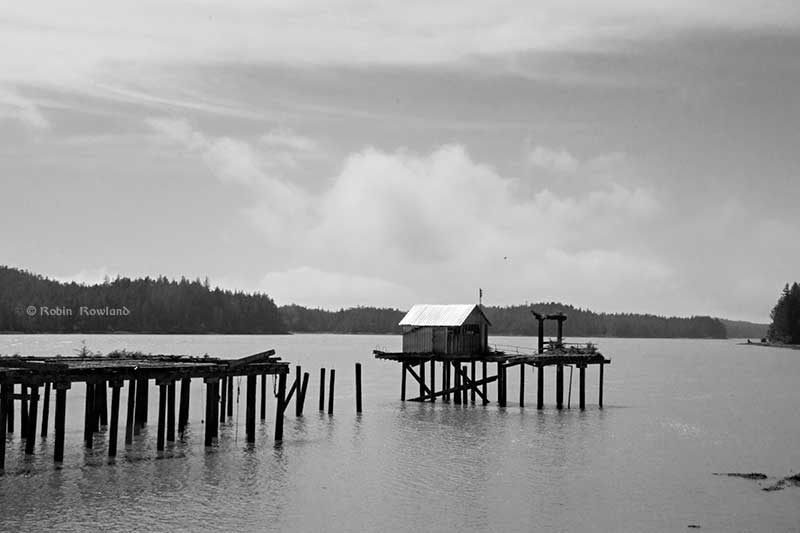
A visit to the North Pacific Cannery National Historic Site
June 2, 2015