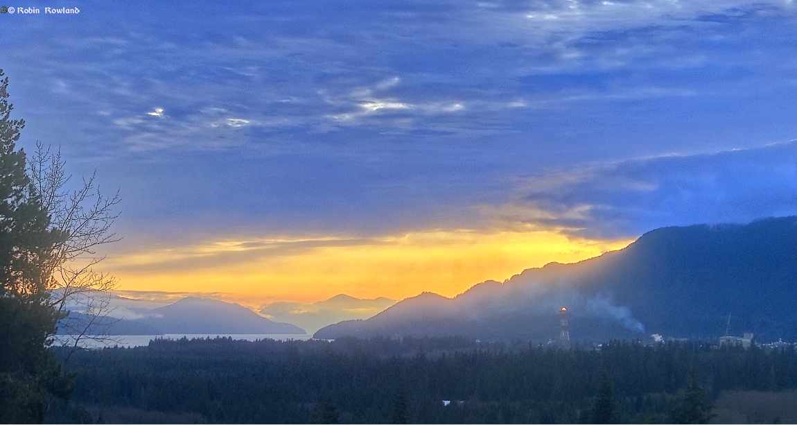
Kitimat sunset December 11
December 12, 2024

Much of the world’s major media have reported that the beautiful Greek island of Santorini is a prime example of overtourism n 2024. That pronoted me to write a memoir of my visit first in 1976 When Santorini was remote, welcoming, and cheap. For my photography site I have added the photographs from that essay […]

First flaring from the LNG Canada tower, afternoon of Sept. 1, 2024. Three in colour with one converted to black and white. Later evening shots and a morning shot from Sept. 2 LNG Canada describes this as “low level” flaring as part of its “safe startup” program and will continue for several weeks. […]

I just returned from my trip to Prince Rupert and the Khutzeymateen when I was on the road again to the traditional territory of the Nisga’a Nation to see the Nisga’a Museum and the famous Nisga’a lava beds. The original trip by the Kitimat Museum and Archives was cancelled when Covid began and was rescheduled […]

On May 29, 2024, I took the Prince Rupert Adventure Tours tour of the Khutzeymateen grizzly sanctuary. Here are the shots of the grizzlies, one black bear and the landscape. The first bear we spotted as a black bear at Tsampanaknok Bay. Then deeper in to the Khutzeymateen we spotted a grizzly swimming along the […]
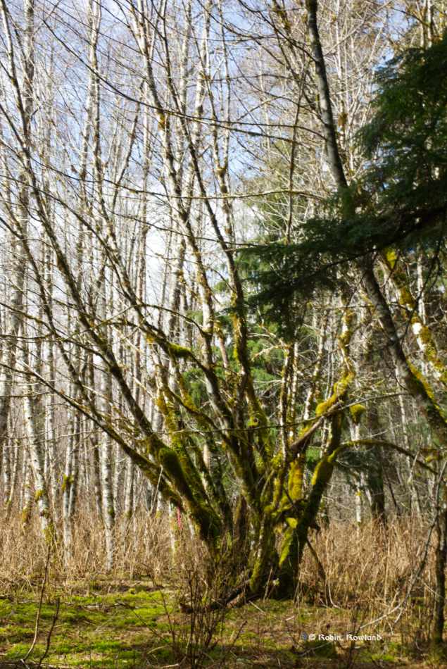
On April 6, I took a spring hike in Kitimat River Provincial Park Kitimat River Park protects two parcels of small but highly productive old-growth Sitka spruce and red cedar forest on the natural floodplain and fluvial terraces of the Kitimat River. It also protects grizzly bear habitat and culturally modified trees The hike was […]

I was shocked to read in the New York Times this week in Margret Renkl’s column that the Okefenokee National Wildlife Refuge in Georgia, is in danger of being destroyed by, of all things, a strip mine. She reports that there is wide spread opposition to the mine from across the political spectrum in generally […]