Skip to content
Robin Rowland Photography
Robin Rowland's site for editorial, commercial, wildlife and nature photography
Photography Blog
Mt. Elizabeth/Mt. Bolton/Lax¯ukw
Photo books
News and weather
Enbridge Northern Gateway
People in the news
Northwest BC Industries
Natural world
Wildlife
Sea
Lakes, rivers and wetlands
Land
Photo Services
Portrait photojournalism
Commercial photography
Guides and outfitters
Photo printing
Photo books
Bio
Contact
Tag:
storm
Portraits of Northwestern Crows
October 11, 2021
People of the Snow Truth and Reconciliation in Kitimat
October 1, 2021
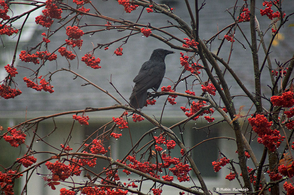
A raven, the rain and some berries
November 4, 2018
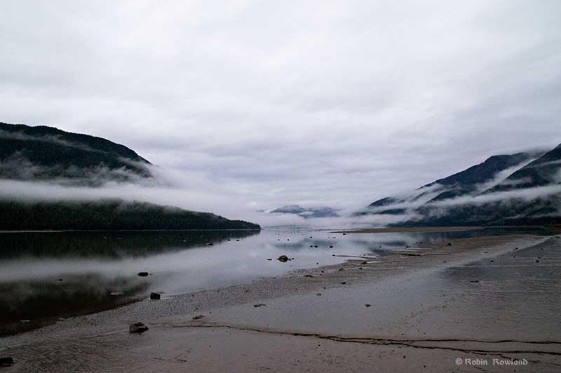
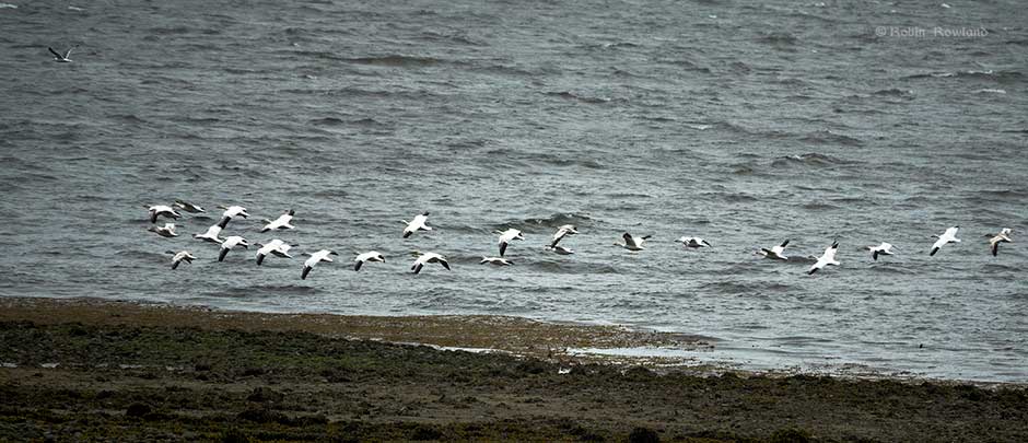
A soggy day in Kitimat harbour as the spring migration comes north
April 25, 2018
The calm after the storm: Kitimat River in flood
October 25, 2017
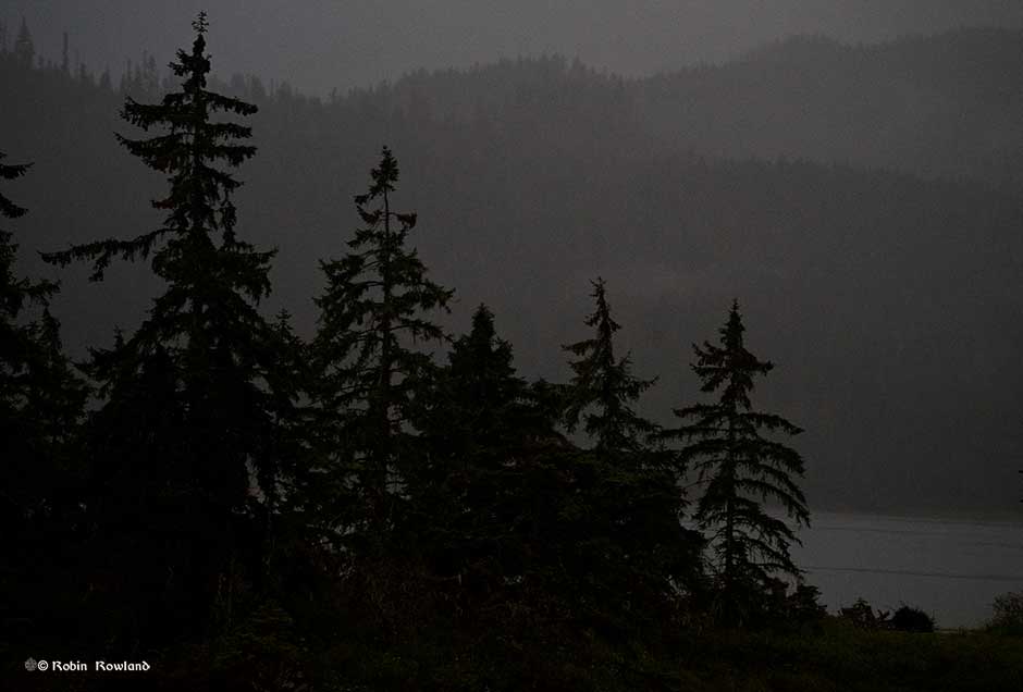
Stormy weather at Minette Bay
August 13, 2017
Super tide on the Skeena
September 28, 2015
next page »