Skip to content
Robin Rowland Photography
Robin Rowland's site for editorial, commercial, wildlife and nature photography
Photography Blog
Mt. Elizabeth/Mt. Bolton/Lax¯ukw
Photo books
News and weather
Enbridge Northern Gateway
People in the news
Northwest BC Industries
Natural world
Wildlife
Sea
Lakes, rivers and wetlands
Land
Photo Services
Portrait photojournalism
Commercial photography
Guides and outfitters
Photo printing
Photo books
Bio
Contact
Category:
Instagram
Christmas bird count 2018 in a snow storm
December 16, 2018
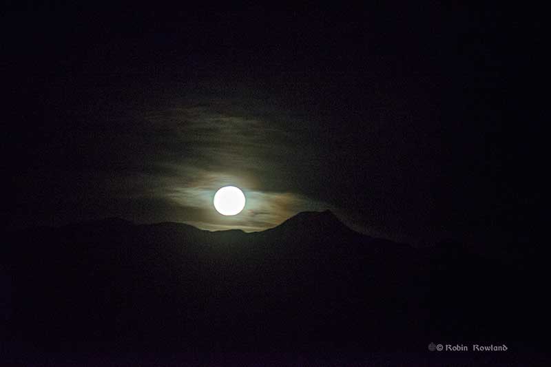
Moonrise over Mt. Elizabeth, Kitimat
November 25, 2015
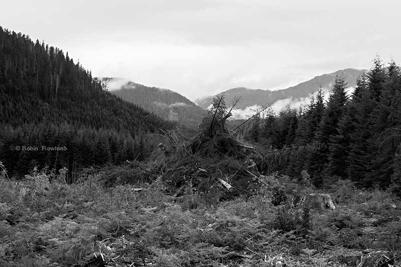
Preparing the Pacific Trail Pipeline right of way
September 7, 2015
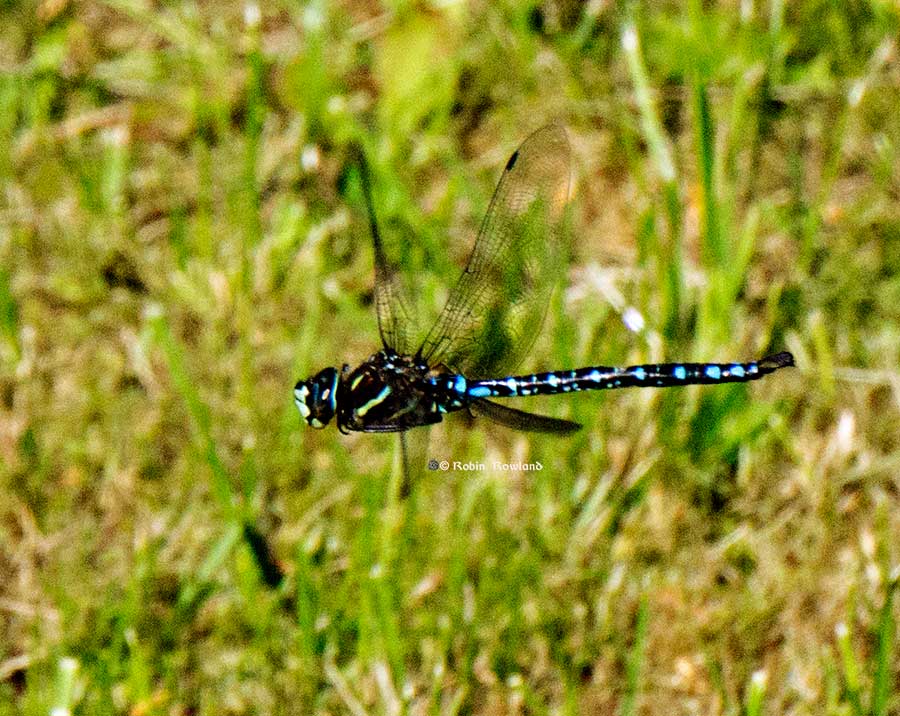
Catching a dragonfly
August 22, 2015
Remembrance Day, Kitimat, November 11, 2014
November 11, 2014
Northern Flicker upside down at my feeder
June 10, 2014