
August Sturgeon Super Moon over Kitimat
August 2, 2023
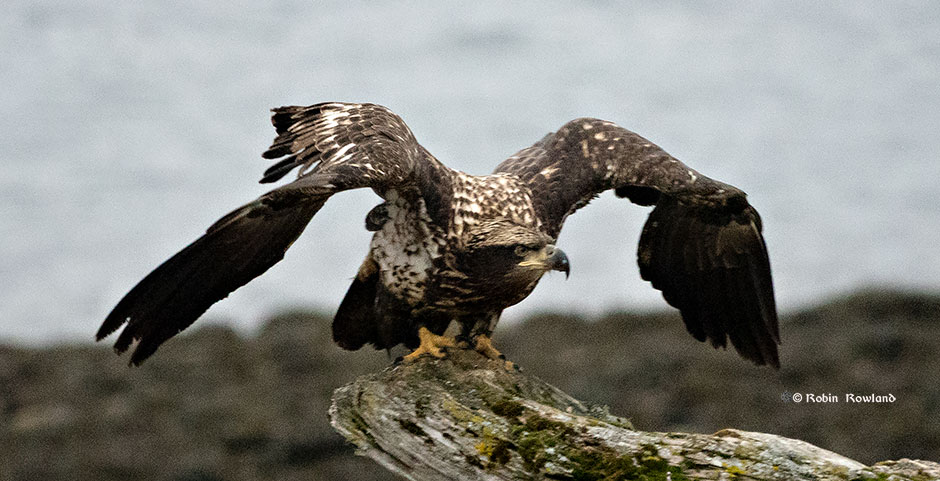
Look closely and you will see the white head of a bald eagle perched in a tree at MK Bay, taken from MK Bay West Park.
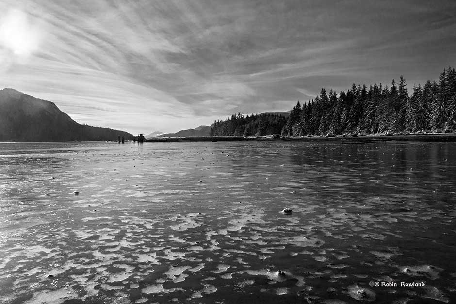
As the tide goes out, the ice covering a briny tidal creek collapses, leaving patterned cracks. Minette Bay, Kitimat January 1. 2016. (Robin Rowland) I spent New Year’s Day on the mudflats of Minette Bay, near Kitimat, with other local photographers. At low tide, of course. Ruth and Howard Mills who run the […]

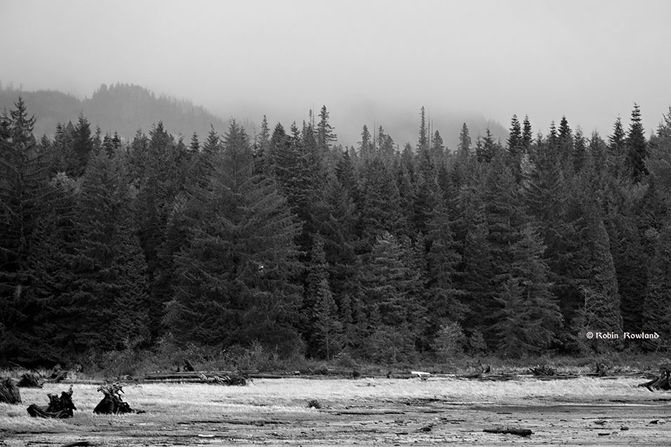
A juvenile bald eagle surveys the Kitimat River from a log on a sandbar. (Robin Rowland) Once again this year I joined the Kitimat Christmas Bird Count, helping out the Kitimat Valley Naturalists. Here are some of the best shots from that day, Wednesday December 16. 2015. Gulls huddle together on the shore of MK […]
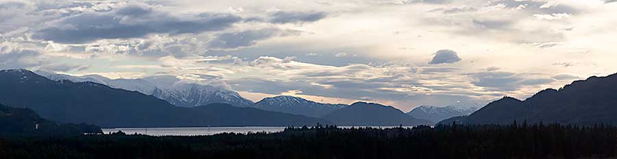
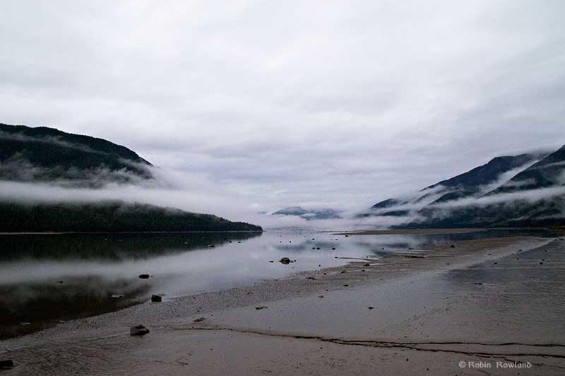
The December sun over Kitimat harbour and Douglas Channel, December 10, 2015. (Robin Rowland) The view of Douglas Channel from a park near my house in Kitimat. A panorama created with Lightroom CS new merge and panoramic feature. The original would be 38 inches wide if printed at full size.
I had great plans for shooting the super moon and the eclipse blood moon on Sunday night, September 27. Unfortunately the ideal shot of the moon rising over our iconic Mt. Elizabeth (which I have captured in the past) was impossible, there was a storm blowing in, and the overcast was so heavy that dark […]