Skip to content
Robin Rowland Photography
Robin Rowland's site for editorial, commercial, wildlife and nature photography
Photography Blog
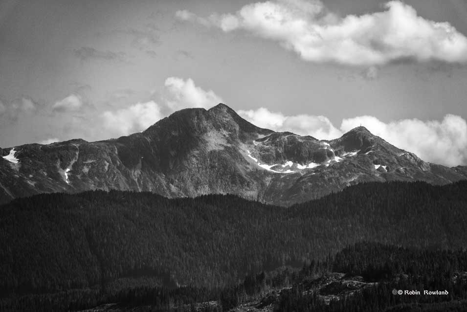
Mt. Elizabeth/Mt. Bolton/Lax¯ukw
Photo books
News and weather
Enbridge Northern Gateway
People in the news
Northwest BC Industries
Natural world
Wildlife
Sea
Lakes, rivers and wetlands
Land
Photo Services
Portrait photojournalism
Commercial photography
Guides and outfitters
Photo printing
Photo books
Bio
Contact
Tag:
clouds
A visit to the Nisga’a lava beds
June 5, 2024
Beauty in a stormy atmospheric river
January 30, 2024
Polar vortex January 2024, the view from my window
January 15, 2024
A blue moon in August
September 2, 2023
Mt. Elizabeth/Mt. Bolton/Lax¯ukw
August 3, 2023
August Sturgeon Super Moon over Kitimat
August 2, 2023
Bald eagle at Minette Bay
October 13, 2021
next page »