Skip to content
Robin Rowland Photography
Robin Rowland's site for editorial, commercial, wildlife and nature photography
Photography Blog
Mt. Elizabeth/Mt. Bolton/Lax¯ukw
Photo books
News and weather
Enbridge Northern Gateway
People in the news
Northwest BC Industries
Natural world
Wildlife
Sea
Lakes, rivers and wetlands
Land
Photo Services
Portrait photojournalism
Commercial photography
Guides and outfitters
Photo printing
Photo books
Bio
Contact
Category:
Skeena River
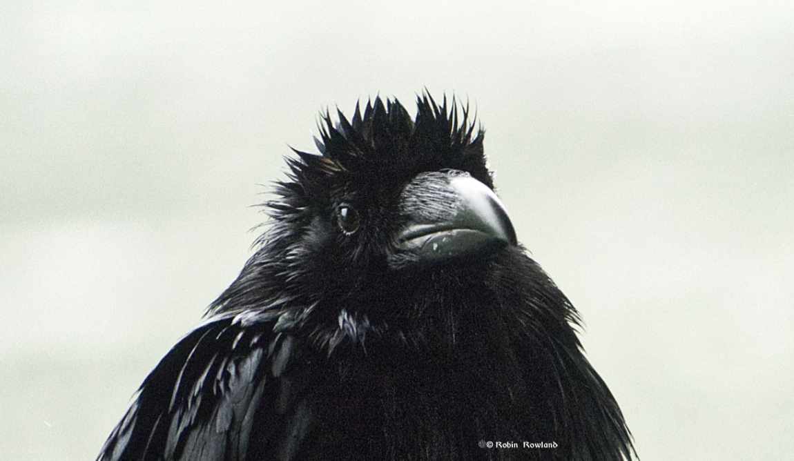
Portrait of a raven
June 2, 2024
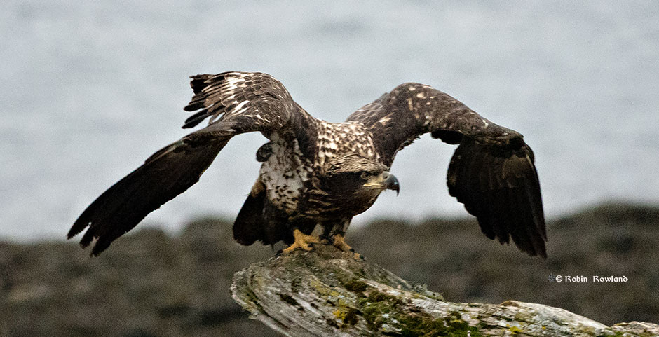
Bald eagle takes off and more
March 10, 2019
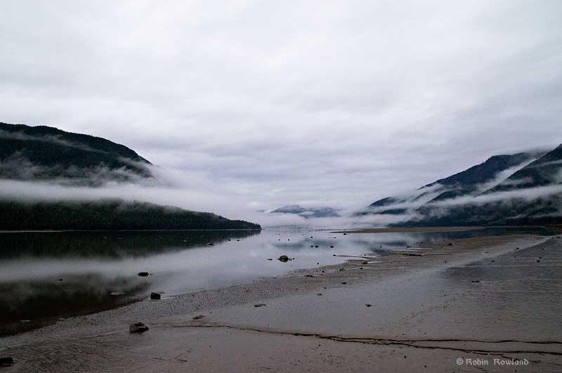
Super tide on the Skeena
September 28, 2015
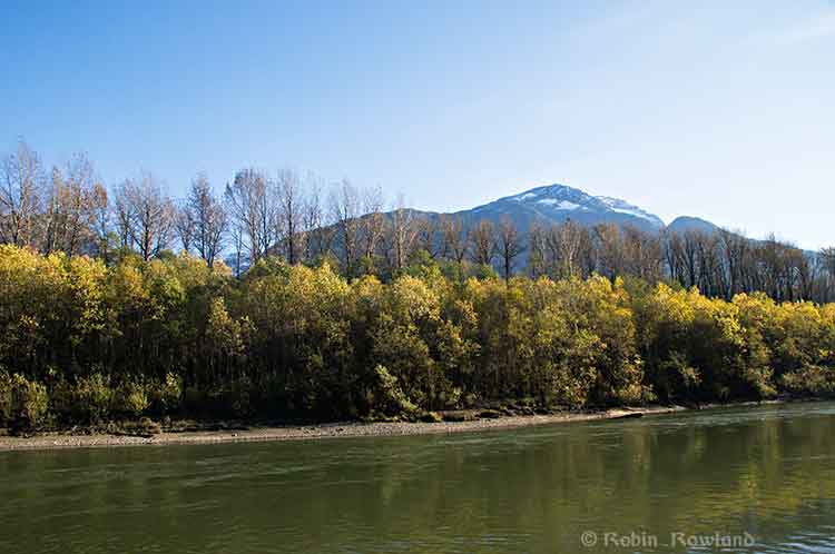
Fall colours along the Skeena
October 18, 2013
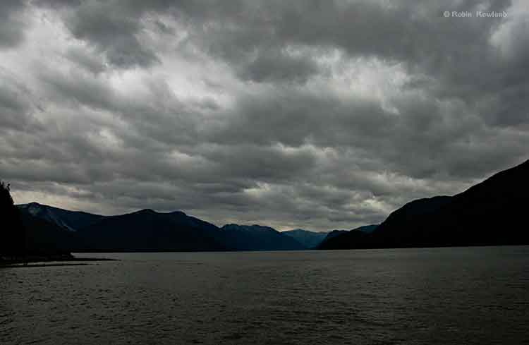
Storm warning on the Skeena
October 4, 2013
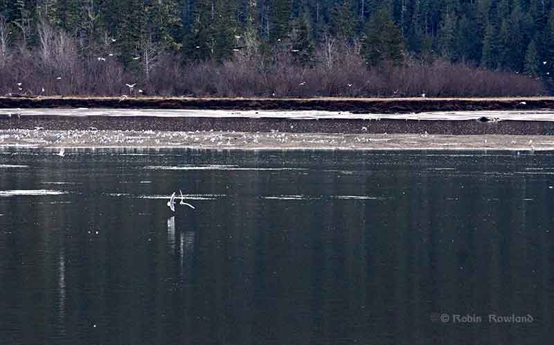
The Skeena, the oolichan and the frenzy of the gulls
March 9, 2013
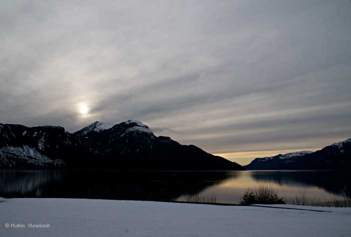
Sunset on the Skeena
February 6, 2012