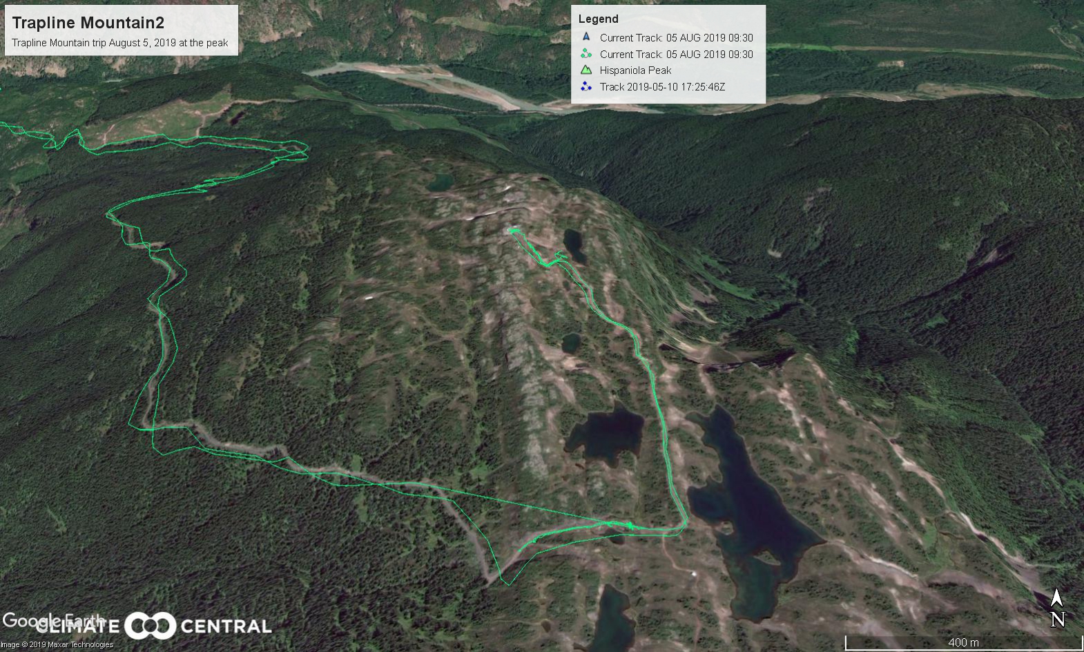
The view from Trapline Mountain

Robin Rowland 
A small lake in a bowl at the peak of Trapline Mountain on a sunny August morning. (Robin Rowland)
GPS route to Trapline Mountain (Google Earth)

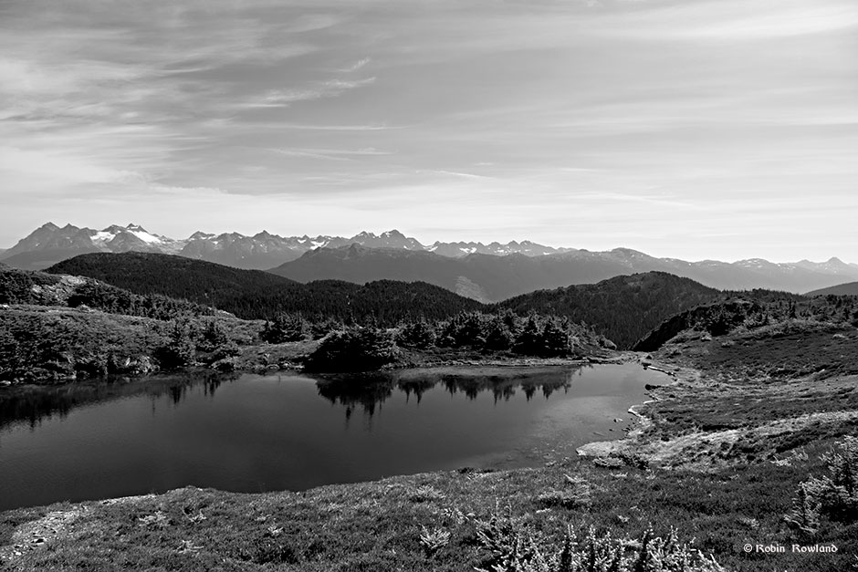
On Monday August 5, friends invited me along for a trip to Trapline Mountain to photograph the alpine. Trapline Mountain is about 30 kilometres east of Terrace, BC. You get to the mountain first by driving along the road that follows the Copper River and then taking a rough access road to the peak. At the peak is a BC Hydro microwave communications tower. The area is popular with photographers, ATV enthusiasts and the occasional campers in the summer and snowmobilers in the winter.

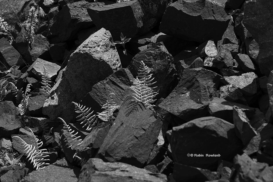
Black and white images

I have converted most of the images to black and white. Depending on the image I either used Photoshop or SilverEfx.

Another view from the peak of Trapline Mountain. (Robin Rowland)
Another of the mini-lakes at the peak of Trapline Mountain. (Robin Rowland)
The peak of Trapline Mountain. (Robin Rowland)
The tree line just below the peak. (Robin Rowland)
A vertical view of the lake. (Robin Rowland)
A sharp distant peak. (Robin Rowland)


Another view of the mountains. (Robin Rowland)
Flowers and reeds at the shore of a lake a little lower on the mountain. If you look carefully you will see a swarm of flies. (Possibly mayflies?) (Robin Rowland)
Bright plants track a small stream through the alpine. (Robin Rowland)


Ferns and flowers among the broken rocks of the peak. (Robin Rowland)

Colour images 

The peak of Trapline Mountain is absolutely beautiful. So I have included some colour images.

A view from the peak. (Robin Rowland)
A closer view. (Robin Rowland)
Another view. (Robin Rowland)
GPS track to the peak of Trapline Mountain (Google Earth)


Haaland Ave. Waterfall

Haaland Ave. Waterfall tumbles off a cliff into the Copper River.

The Haaland Avenue falls on the Copper River, (Robin Rowland)
A pole among the rocks below the falls. (Robin Rowland)

Recommended Posts